


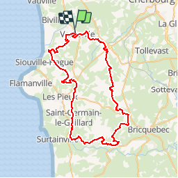

9.5 km | 11.3 km-effort


User


FREE GPS app for hiking
 SityTrail
IGN / Geographical institutes
SityTrail World
The world is yours!
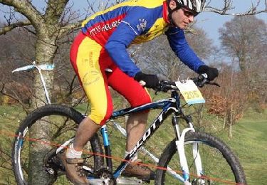
Trail Mountain bike of 64 km to be discovered at Normandy, Manche, La Hague. This trail is proposed by tracegps.
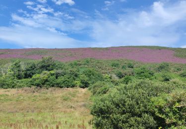
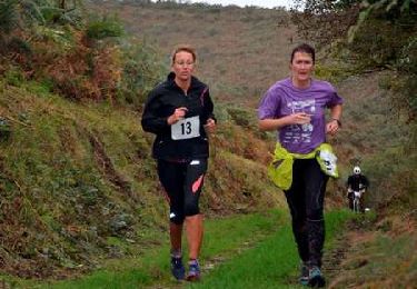
Très jolie randonnée composée de sentiers de différente nature aux reliefs divers et variés et offrant de somptueux paysages, de quoi allier effort physique et plaisir des yeux ;) Randonnée annuelle très bien organisée par le club "les Choumacs" avec des bénévoles adorables qui nous ont bichonnés lors des ravitos. Bravo à tous ces gens sans qui de tels évènements ne pourraient exister ;) LES HAGUARDS vous donnent rendez-vous tous les dimanches matin si, comme nous, vous appréciez les randos dans une ambiance conviviale. LES HAGUARDS ne sont pas sectaires et apprécient aussi de pratiquer d'autres activités sportives tels que les raids multisports, trails, triathlons etc..... Et ils n'hésitent pas à se déplacer ensembles sur des évènements incontournables comme LA GAMELLE TROPHY, LA JEAN RACINE, LES ROC'H DES MONTS D'ARREE, LA FORESTIERE, LE ROC D'AZUR etc.... Pour plus d'info: LESHAGUARDS.FR - facebook : VTT LES HAGUARDS.


Walking
Walking

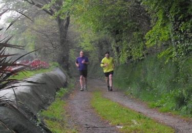
Running
Mountain bike
Mountain bike
Mountain bike

Mountain bike
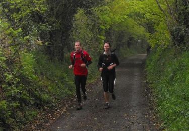
Running